- Version 35.40
- Download 0
- File Size 0.00 KB
- File Count 1
- Create Date July 16, 2026
- Last Updated July 16, 2026
Distance & Land Area Measure
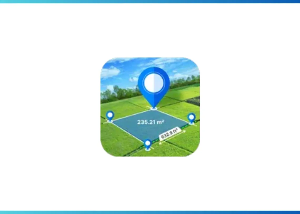
The Distance & Land Area Measure app is useful for accurately calculating GPS area and GPS distance. You can use POI to specific point locations. It is fast, simple, and easy to use. Both GPS and manual measurements can be used to calculate measurements. If you can measure any place or place area on a map by sitting at your current location using this Distance and Land Area Measure app simply select the area you want to measure on the map.
The distance between two or more points anywhere on the globe can be calculated with this application's assistance. You can also select the locations from which you want to calculate the distance in this. For area and distance calculations, you just click on the map to place the first marker and then click again to position the second marker, through this you can mark the places you want to calculate. If you mark any wrong point you can delete it. If you want, you can even zoom in on the locations.
If you want to save the measurement field after the calculation is complete, you can save it by entering the measurement name and measurement description. Images from the camera and gallery can also be added. POI: In the place of interest, simply select the locations, and the latitude and longitude of those locations will be displayed. You can even save it.