The Distance & Land Area Measure app is useful for accurately calculating GPS area and GPS distance. You can use POI to get to specific points. It’s quick, simple, and simple to use. You can calculate measurements by GPS measurement and manual measurement.
Using this Distance and Land Area Measure app, you can measure any place or area on a map from your current location by selecting the desired area on the map.
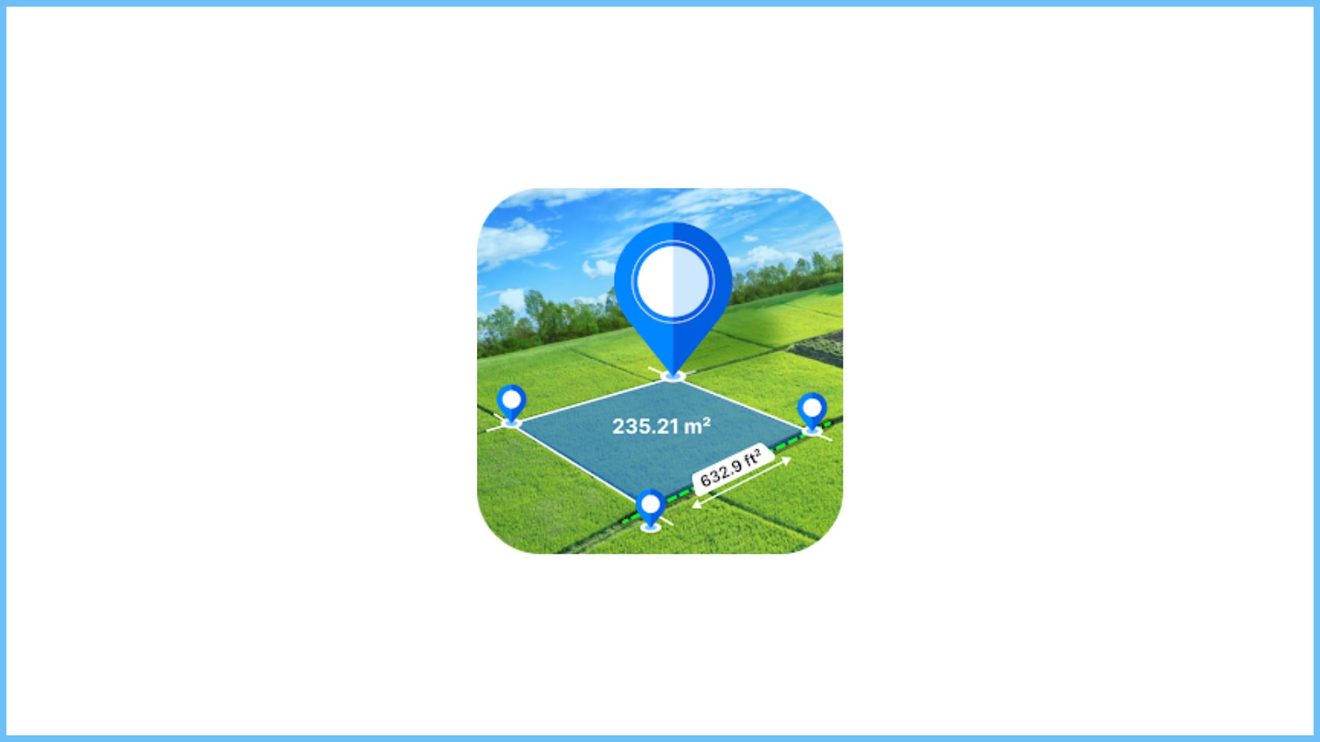
The distance between two or more points anywhere on the globe can be calculated with this application’s assistance. You can also select the locations from which you want to calculate the distance in this. Simply click on the map to place the first marker for area and distance calculations, and then click again to position the second marker.
This allows you to mark the locations you want to calculate. You can remove any incorrectly marked points. If you want, you can even zoom in on the locations. If you want to save the measurement field after the calculation is complete, you can save it by entering the measurement name and measurement description.
Images from the camera and gallery can also be added. POI: In the place of interest, simply select the locations, and the latitude and longitude of those locations will be displayed. You can even save it.
The map can be changed to normal, satellite, terrain, or hybrid in that application. Additionally, you can edit saved measurements. Additionally, you can import measurements in KMZ and KML.
It is simple to locate the desired location within it. All measurements are saved in the app’s “Saved” folder. This makes it simple to measure your save area and distance. In our application, we provide a weather feature that includes real-time notifications displaying detailed weather information. These notifications are set to run in the foreground, ensuring that users are informed of the latest weather conditions promptly and prominently even when actively using other apps.
Main Features: This foreground functionality makes it easy and efficient for users to stay informed about changing weather conditions. * Easy and simple way to measure the size of any area
* Measure the land area to get the ideal size for any land and area * Easy to import any measurement files from your device
* GPS-based and manual measurement of the area * It is simple to point to any area on a map and get instant measurements.
* Save, edit, and change any pointed area by using editing tools
* Import photos to save all measurement files. * Utilize the GPS measurement tool and user manual to determine the distance between two locations. * POI with GPS and manual measurements * The most recent features like the point of view, zooming in and out, undo button, and one-click saving
* Convenient way to change the map type with normal, satellite, terrain, hybrid
* Fast area distance measurement tool
* Measuring and calculating between two points in real time * Calculate fast and reliably with high accuracy
* A simple touch-based method for dragging and dropping points on a map * Import instant photos from the camera and gallery to save your measurement in detail. * A nice app with an easy-to-understand user interface


